365 days of lockdown on Palawan ... there is worse! ;)
18. March 2021, Thursday
11° 10' 37" N, 119° 17' 47" E
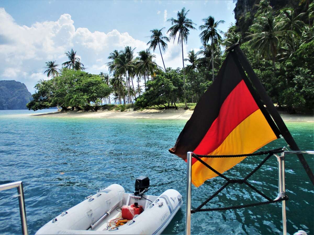
In the meantime it has been a year since we arrived in Palawan from Borneo / Kota Kinabalu.
Two days after the arrival, the lockdown was imposed on the entire 7,107 Philippine islands.
Well, at the beginning the people here were a bit scared when they saw foreign faces, so this has largely subsided, knowing well that there are hardly any cases of Corona on the islands away from the big cities and metropolitan areas.
The daily struggle for survival prevents people from falling into a collective mass hysteria.
Speaking of Palawan:
I often get inquiries about Palawan. Where and what?
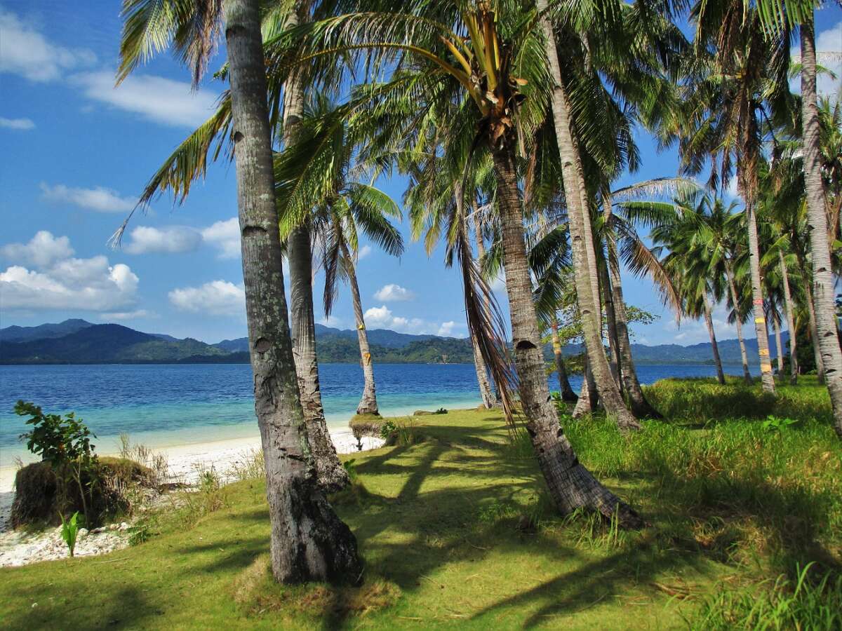
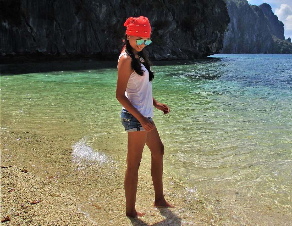
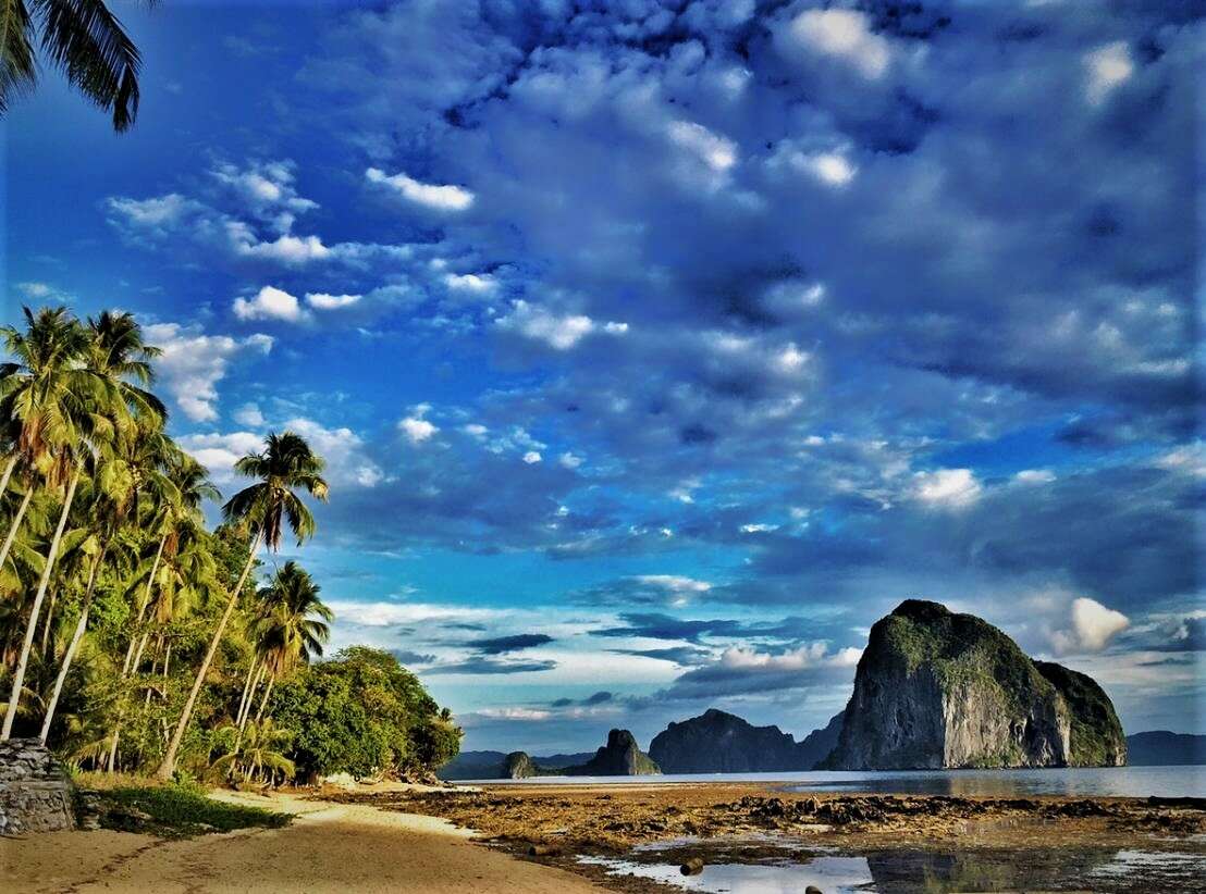
So if the pictures of the past 365 days whet your appetite for this destination, here are again some geographic information:
"Palawan is stretched out between the South China Sea in the northwest and the Sulu Sea in the southeast.
The main island is about 450 km long, on average about 40 km wide and crossed by a mountain range, the highest point of which is Mount Mantalinganhan at 2085 m. The narrowest point, between Ulugan Bay and Honda Bay, measures around 8.5 kilometers. In the northeast the Mindoro Strait separates the province from the island of Mindoro, in the southwest the Balabac Strait from Borneo.
The province also includes the Calamian Islands north of the main island, the southern Balabac Islands, the Cagayan and Cuyo Islands in the Sulu Sea and the Filipino-occupied part of the Spratly Islands, Kalayaan. With an area of almost 15,000 km², Palawan is the largest province in the Philippines." (Wikipedia)
Well then ... the lockdown will certainly be over at some point despite all the political failures at the helm and anticipation is known to be the best. ;)
Two days after the arrival, the lockdown was imposed on the entire 7,107 Philippine islands.
Well, at the beginning the people here were a bit scared when they saw foreign faces, so this has largely subsided, knowing well that there are hardly any cases of Corona on the islands away from the big cities and metropolitan areas.
The daily struggle for survival prevents people from falling into a collective mass hysteria.
Speaking of Palawan:
I often get inquiries about Palawan. Where and what?
So if the pictures of the past 365 days whet your appetite for this destination, here are again some geographic information:
"Palawan is stretched out between the South China Sea in the northwest and the Sulu Sea in the southeast.
The main island is about 450 km long, on average about 40 km wide and crossed by a mountain range, the highest point of which is Mount Mantalinganhan at 2085 m. The narrowest point, between Ulugan Bay and Honda Bay, measures around 8.5 kilometers. In the northeast the Mindoro Strait separates the province from the island of Mindoro, in the southwest the Balabac Strait from Borneo.
The province also includes the Calamian Islands north of the main island, the southern Balabac Islands, the Cagayan and Cuyo Islands in the Sulu Sea and the Filipino-occupied part of the Spratly Islands, Kalayaan. With an area of almost 15,000 km², Palawan is the largest province in the Philippines." (Wikipedia)
Well then ... the lockdown will certainly be over at some point despite all the political failures at the helm and anticipation is known to be the best. ;)