600 km for public authorities
27. June 2020, Saturday
9° 45' 3" N, 118° 44' 54" E
We have been in the Philippines since March 15th and so far it has not been possible to clarify. Corona lockdown!
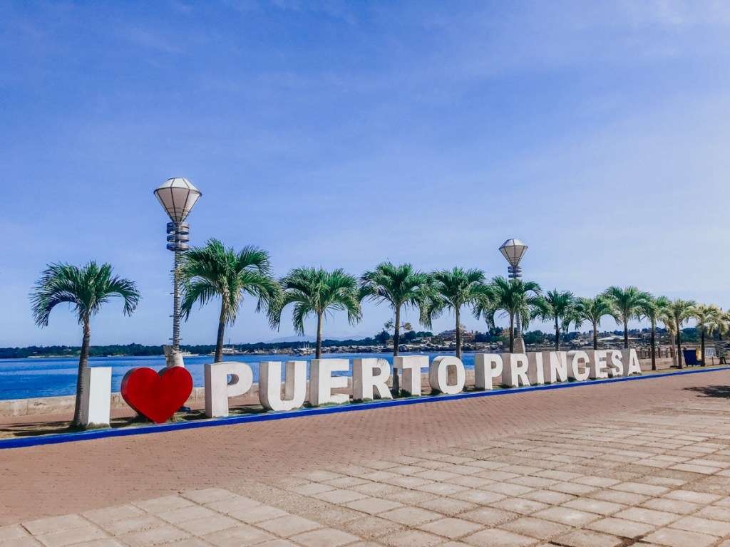
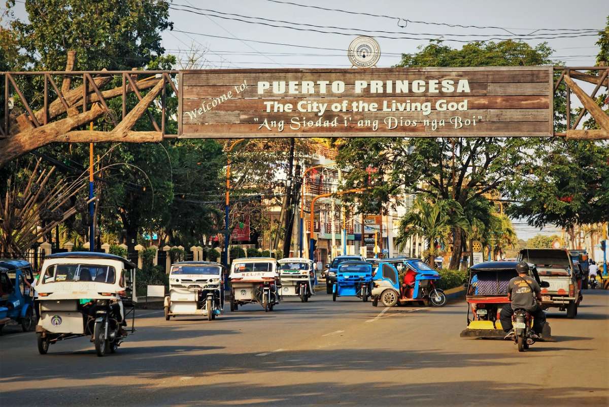
But this week came the OK of the immigration authorities and we drove the entire 600 km back and forth to the capital of the island of Palawan in a rental car to complete our trips to customs, quarantine and immigration after 3 months of our illegality.
We also have the opportunity to go shopping and visit our Swiss friend in his house & resort munting Paraiso in Puerta Princesa.
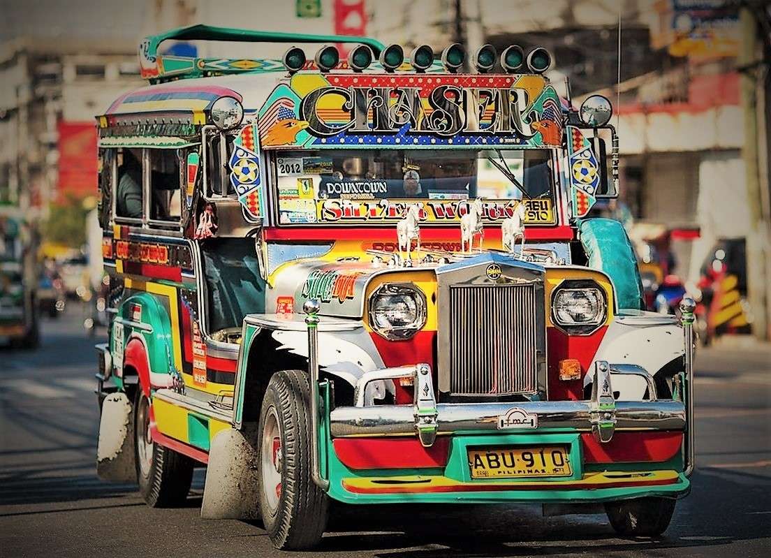
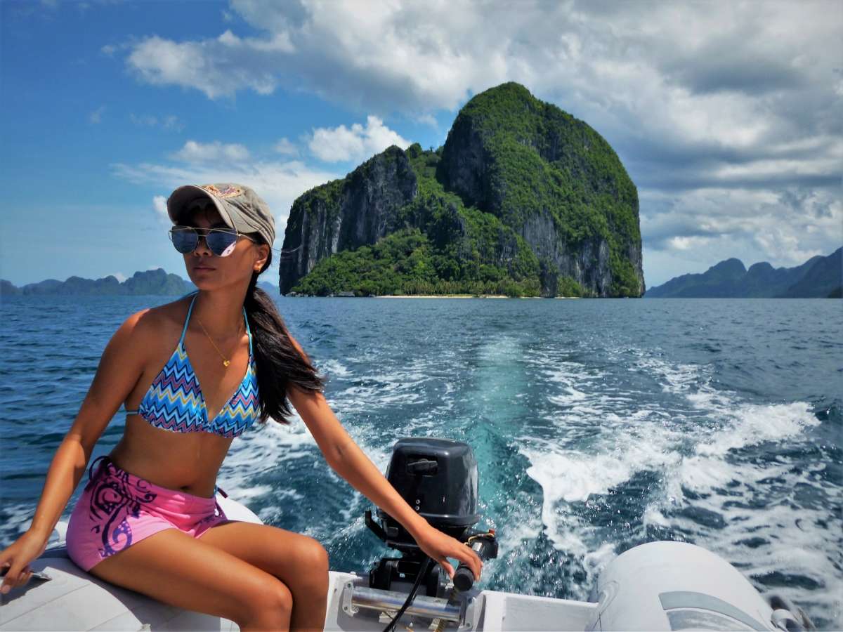
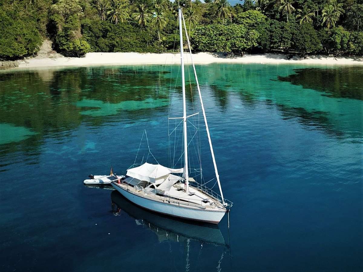
After 3 days of city life we are back on Odin
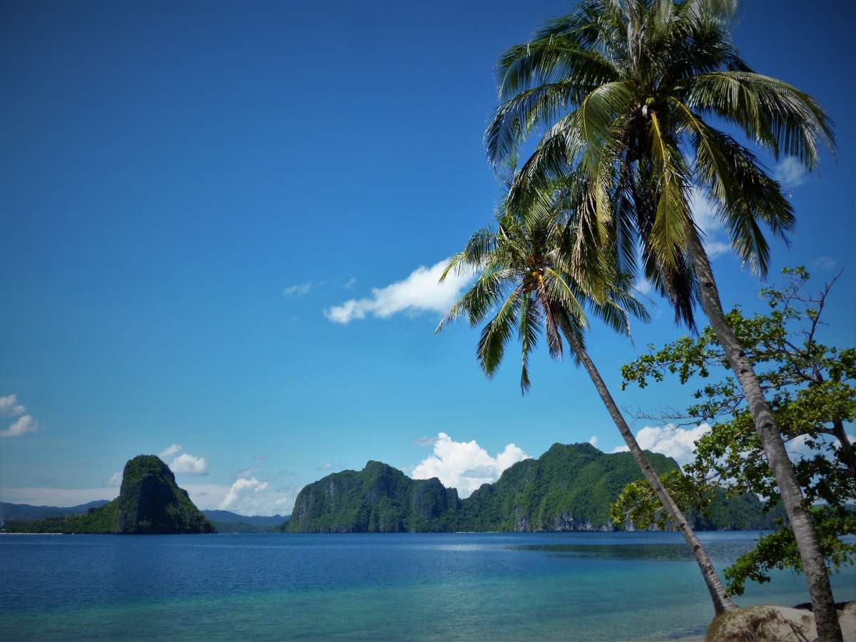
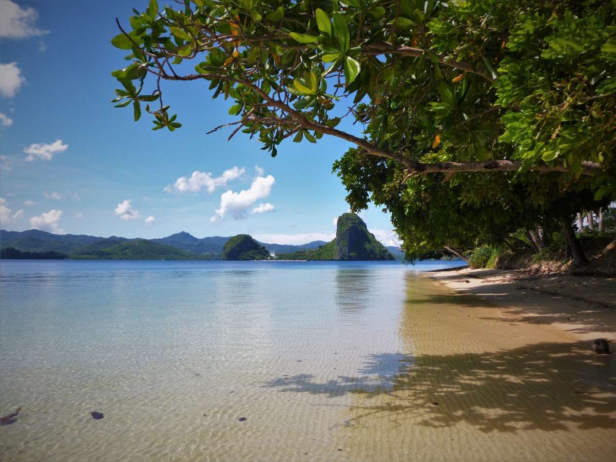
and sail from island to island and enjoy the loneliness and tranquility that these islands give us at the moment without any tourism.
Since not everyone (except of course you dear reader) knows the exact geographical details about this island, we simply use Wikipedia:
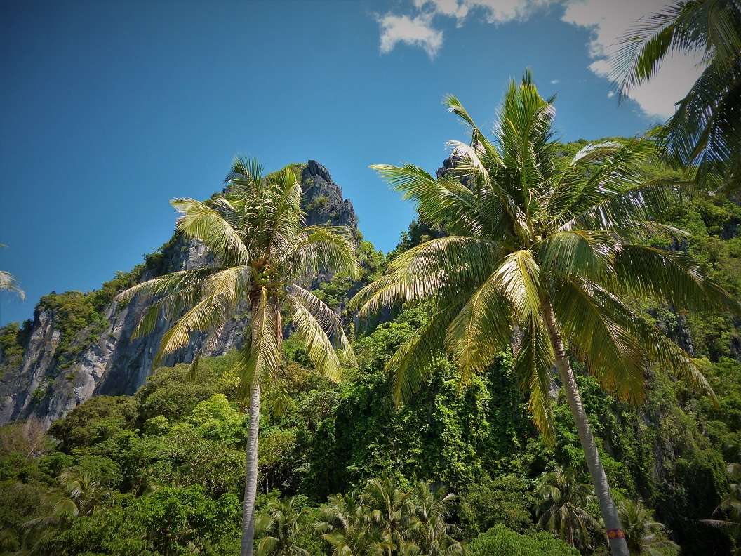
"Palawan lies stretched between the South China Sea in the northwest and the Sulusee in the southeast. The main island is about 450 km long, 40 km wide on average and crossed by a mountain range, the highest point of which is Mount Mantalinganhan at 2085 m. The narrowest point between the Ulugan Bay and Honda Bay, is approximately 8.5 kilometers long. Mindoro Road separates the province from the island of Mindoro to the northeast, the Balabac Strait from Borneo to the southwest. The province also includes the Calamian Islands north of the main island , the southern Balabac Islands, the Cagayan and Cuyo Islands in the Sulusee and the Filipino-occupied part of the Spratly Islands, Kalayaan. With an area of almost 15,000 km², Palawan is the largest province in the Philippines. "
So now one or the other is a bit smarter and may have a new holiday or sailing destination for the future on the back of his mind ;)
But this week came the OK of the immigration authorities and we drove the entire 600 km back and forth to the capital of the island of Palawan in a rental car to complete our trips to customs, quarantine and immigration after 3 months of our illegality.
We also have the opportunity to go shopping and visit our Swiss friend in his house & resort munting Paraiso in Puerta Princesa.
After 3 days of city life we are back on Odin
and sail from island to island and enjoy the loneliness and tranquility that these islands give us at the moment without any tourism.
Since not everyone (except of course you dear reader) knows the exact geographical details about this island, we simply use Wikipedia:
"Palawan lies stretched between the South China Sea in the northwest and the Sulusee in the southeast. The main island is about 450 km long, 40 km wide on average and crossed by a mountain range, the highest point of which is Mount Mantalinganhan at 2085 m. The narrowest point between the Ulugan Bay and Honda Bay, is approximately 8.5 kilometers long. Mindoro Road separates the province from the island of Mindoro to the northeast, the Balabac Strait from Borneo to the southwest. The province also includes the Calamian Islands north of the main island , the southern Balabac Islands, the Cagayan and Cuyo Islands in the Sulusee and the Filipino-occupied part of the Spratly Islands, Kalayaan. With an area of almost 15,000 km², Palawan is the largest province in the Philippines. "
So now one or the other is a bit smarter and may have a new holiday or sailing destination for the future on the back of his mind ;)